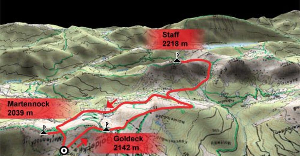
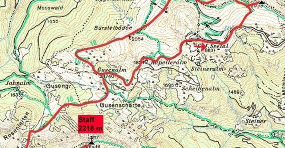
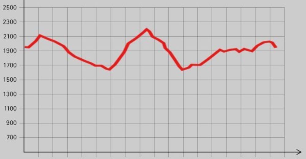
Dati percorsi
16,2km
- 2.218m
1.000hm
06:30h

- Descrizione rapida
-
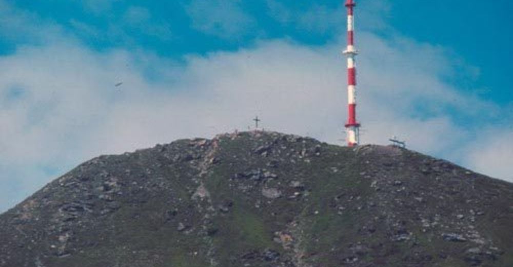
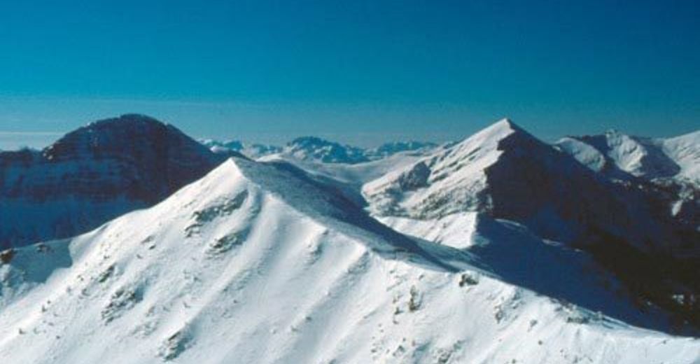
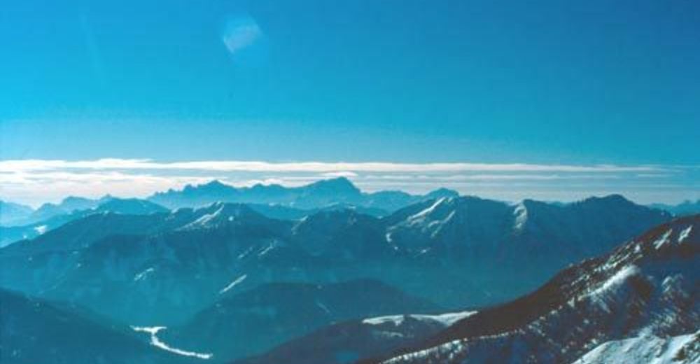
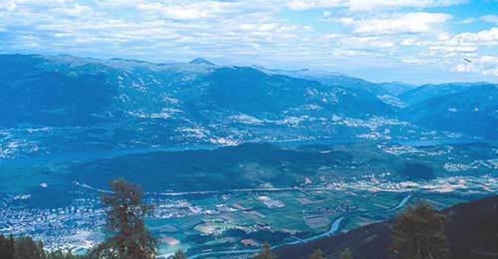
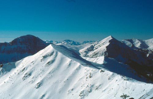
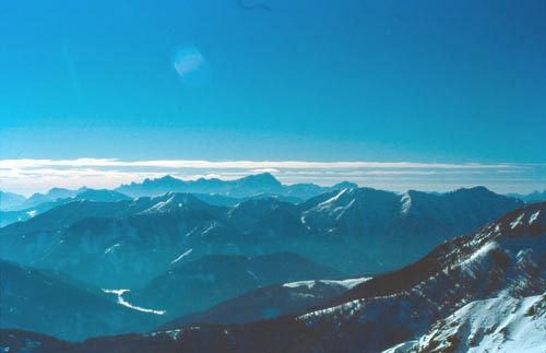
Schöne Tagestour über mehrere Gipfel.
- Valutazione
-
- Punto di partenza
-
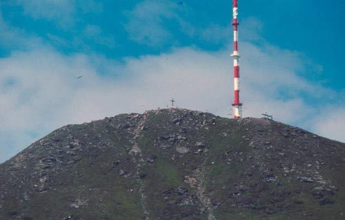
Goldeckhütte (1927 m)
- Punto più alto
- 2.218 m
- Cartine


GPS Downloads


Condizioni dei sentieri
Asfalto
Ghiaia
Prato
Foresta
Roccia
Esposta
Altri tour nelle regioni