

© Rene Hafner - Sissi Wutte

- Descrizione rapida
-
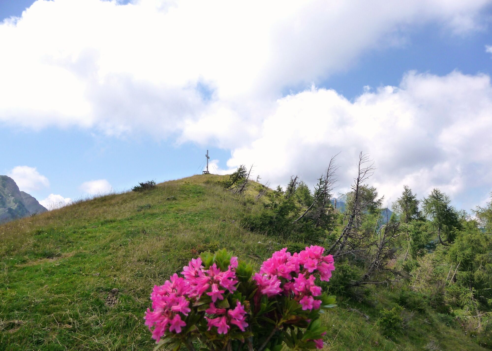
Nach einem langen Zustieg wartet am Endpunkt dieser Tour ein kleiner aber feiner Gipfel.
- Difficoltà
-
difficile
- Valutazione
-
- Percorso
- La stagione migliore
-
genfebmaraprmaggiulugagosetottnovdic
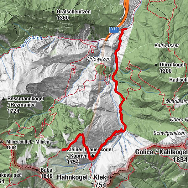
- Punto più alto
- 1.725 m
- Profilo altimetrico
-

-

-
AutoreIl tour Wanderung Kleiner Frauenkogel è utilizzato da outdooractive.com fornito.
GPS Downloads


Info generali
Suggerimento
Promettente
Altri tour nelle regioni


